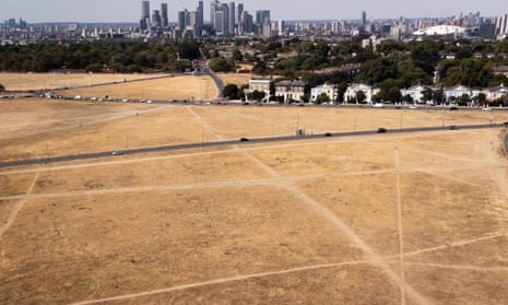
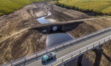
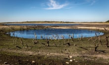
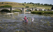
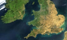
The UK is braced for drought conditions until October, with rivers forecast to be low and exceptionally low in central and southern England, according to the UK Centre for Ecology and Hydrology.
This could have dire consequences for farming, as soil in much of the country is too dry to drill, and many crops for harvest next year and the end of this year need to be drilled by the end of October to be viable.
South-east England has had 144 days with little or no rain since January, which is the longest dry period since the 1970s, according to Met Office figures.
This comes as Minette Batters, the head of the National Farmers’ Union, called in the Guardian today for the Conservative leadership candidates to outline urgent water plans. The issue of running out of water has been barely addressed during the contest.
Modelling from UKCEH with data from the Met Office shows we need above average rainfall to get rivers in much of the country back to normal levels. The rain we are forecast to get is likely to hit in the north-west, where rivers are faring better, with the south-east remaining drier.
Catherine Sefton, hydrologist at UKCEH, said: “Whilst it is not unusual to have periods of low rainfall, we have seen an extended period of below average rainfall, particularly in the south-east of England where it was the third driest November to July on record (from 1836). Far from being relieved, the dry conditions intensified in July, with less than 10% of the usual July rainfall recorded across much of the south-east of England (Anglian, Thames and Southern regions each saw their driest July on record, from 1836). The situation has continued into August, with south-east England receiving no rainfall so far this month.”
These dry conditions are set to continue. The report states: “July received below-average rainfall for almost all of the UK, with the exception of the far north of Scotland. Areas of southern and eastern England saw less than 10% of the average July rainfall, and for England as a whole it was the driest since 1935.
“The temperature outlook for August and August – October … shows an increased likelihood of warmer than normal conditions, with an increased likelihood of heatwaves. The precipitation outlook for the same periods suggest that while average rainfall is forecasted, it is likely there will be a contrast between a wetter north-west and a drier south-east of the country.”
Things are looking up for the north-west, with rivers potentially returning to normal flows around October, but the report says: “It is likely flows will remain exceptionally low in central, southern and eastern England over the three month period.”
For parts of southern England, above average rainfall would be needed consistently every month until November in order to combat dry conditions. This currently looks unlikely, though long range forecasts are subject to change.
Wildlife are under threat due to the low river forecast conditions, according to the Rivers Trust, and rivers could face irreversible damage.
A spokesperson told the Guardian: “The exceptionally low river flows forecast for much of England mean that there will be additional stress on the wildlife in our rivers. It is critical that flows are managed above the ‘hands off’ levels.
“We could see irreversible damage to some rivers if flows dry up or stagnate, especially in our precious chalk streams which are not adapted to cope with these wide fluctuations. Our chalk streams have evolved to their current levels of unique biodiversity over millennia. They cannot fast-track evolution to deal with the climate crisis and our over-abstraction, so we are going to have to adapt quickly to give them a chance.”
This week, the weather will remain hot, with temperatures hitting the mid to high 30s in southern parts of the country.
The UK Health Security Agency has issued the second heat health alert of the summer, which came into effect on Monday, and will last until the weekend. People have been advised to avoid the sun from 11am to 3pm and to stay hydrated.
Fires could break out across the country again by the weekend, as the Met Office said its fire severity index will reach “exceptional” for southern parts of the country.
Tony Wardle, the Met Office’s deputy chief meteorologist, said: “Heatwave criteria look likely to be met for large areas of the UK later this week, with the hottest areas expected in central and southern England and Wales on Friday and Saturday.”
