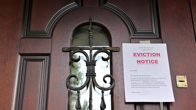
B.C. tenants evicted for landlord's use after refusing large rent increase to take over neighbouring suite
Ashley Dickey and her mother rented part of the same Coquitlam duplex in three different decades under three different landlords.
Communities around southern Ontario are bracing for intense winter weather as a lake-effect squall pattern threatens to deliver large amounts of snow Thursday night and into the weekend.
According to the Weather Network and Environment Canada, some areas of the Great Lakes region – such as those on the eastern shores of Lake Ontario, Georgian Bay and Lake Erie – could be buried under 40 to 60 centimetres of snow by Sunday.
"I think the real concern will be down in the Niagara-Welland area in Ontario and, of course, Buffalo (New York), where it's already an emergency," Environment Canada senior climatologist David Phillips told CTVNews.ca in a telephone interview on Thursday. "I mean, roofs can collapse under the weight of all that snow, and you have power outages."
In a snow squall watch issued Wednesday night and updated Thursday, Environment Canada warned road closures could be possible in the hardest hit areas.
"Consider postponing non-essential travel until conditions improve. If you must travel, keep others informed of your schedule and destination and carry an emergency kit and mobile phone," the agency said.
Cities and towns to the east and northeast of Lake Huron, Georgian Bay, Lake Erie, and Lake Ontario are particularly experienced with weather systems like this, Phillips said, citing the lake-effect storm of 2014 that dropped more than five feet of snow over Buffalo. To understand why, he said, it's necessary to understand how lake-effect snow squalls work.
Lake-effect snow storms in Ontario and New York are most common in November and December, Phillips explained, when air in the lowest part of the atmosphere and ground-level temperatures have cooled down, while the water in the Great Lakes is still relatively warm.
As the cold, late-autumn wind passes above the warm water of the lakes, it gathers moisture and energy to create water-laden clouds. Once those lake-effect clouds meet land, they release all that moisture, usually in the form of heavy snowfall.
"So the greater the difference between the air temperature and the water temperature, the more impactful, the more potent and the more lethal the storms will be," Phillips said.
The other key ingredient in the formation of lake-effect snow is the distance wind travels over a warm lake, a factor known as "fetch." The cold winds usually associated with lake-effect snow tend to come from the west and northwest, Phillips said. The more time those winds spend over warm bodies of water like Lake Ontario and Lake Erie, the more moisture they pull.
"If the winds go over the largest fetch of water, then there's more time for that cold air to moderate and pick up the cargoes of moisture that are available to it, just like a sponge over a wet surface," Phillips said.
Both Lake Ontario and Lake Erie are long and narrow, spanning from west to east. This means cold westerly winds that align with the orientation of the lakes have a long fetch with which to gather the moisture that later becomes snow. Phillips said it's the reason why communities situated on the eastern shores of Lake Ontario and Lake Erie – such as Buffalo, Fort Erie, Niagara Falls, Belleville and Kingston – tend to be hit hardest by lake-effect snow.
Finally, Phillips explained, if the winds are persistent and don't waver in their path over the land, that's when communities see sustained, localized snowfall over a period of days.
"A lot of it is like baking a souffle - all the things have to come together to give you that perfect kind of outcome," Phillips said. "And in this case, this is what we've got: warm water, cold air and persistent winds."
Fortunately, lake-effect storms tend to become less common as winter progresses and the lakes freeze, or at least cool down. Phillips said they also don't influence the weather systems that follow.
"One storm does not produce another storm later on," he said. "It doesn't really affect the weather a week or so later."

Ashley Dickey and her mother rented part of the same Coquitlam duplex in three different decades under three different landlords.
A man who fell into a crevasse while leading a backcountry ski group deep in the Canadian Rockies has died.
A new survey by Dalhousie University's Agri-Food Analytics Lab asked Canadians about their food consumption habits amid rising prices.
MPP Sarah Jama was asked to leave the Legislative Assembly of Ontario by House Speaker Ted Arnott on Thursday for wearing a keffiyeh, a garment which has been banned at Queen’s Park.
Charlie Woods failed to advance in a U.S. Open local qualifying event Thursday, shooting a 9-over 81 at Legacy Golf & Tennis Club.
As Donald Trump was running for president in 2016, his old friend at the National Enquirer was scooping up potentially damaging stories about the candidate and paying out tens of thousands of dollars to keep them from the public eye.
After Prime Minister Justin Trudeau said the federal government would still send Canada Carbon Rebate cheques to Saskatchewan residents, despite Saskatchewan Premier Scott Moe's decision to stop collecting the carbon tax on natural gas or home heating, questions were raised about whether other provinces would follow suit. CTV News reached out across the country and here's what we found out.
A Montreal actress, who has previously detailed incidents she had with disgraced Hollywood producer Harvey Weinstein, says a New York Court of Appeals decision overturning his 2020 rape conviction is 'discouraging' but not surprising.
Caleb Williams is heading to the Windy City, aiming to become the franchise quarterback Chicago has sought for decades.

Mounties in Nanaimo, B.C., say two late-night revellers are lucky their allegedly drunken antics weren't reported to police after security cameras captured the men trying to steal a heavy sign from a downtown business.
A property tax bill is perplexing a small townhouse community in Fergus, Ont.
When identical twin sisters Kim and Michelle Krezonoski were invited to compete against some of the world’s most elite female runners at last week’s Boston Marathon, they were in disbelief.
The giant stone statues guarding the Lions Gate Bridge have been dressed in custom Vancouver Canucks jerseys as the NHL playoffs get underway.
A local Oilers fan is hoping to see his team cut through the postseason, so he can cut his hair.
A family from Laval, Que. is looking for answers... and their father's body. He died on vacation in Cuba and authorities sent someone else's body back to Canada.
A former educational assistant is calling attention to the rising violence in Alberta's classrooms.
The federal government says its plan to increase taxes on capital gains is aimed at wealthy Canadians to achieve “tax fairness.”
At 6'8" and 350 pounds, there is nothing typical about UBC offensive lineman Giovanni Manu, who was born in Tonga and went to high school in Pitt Meadows.