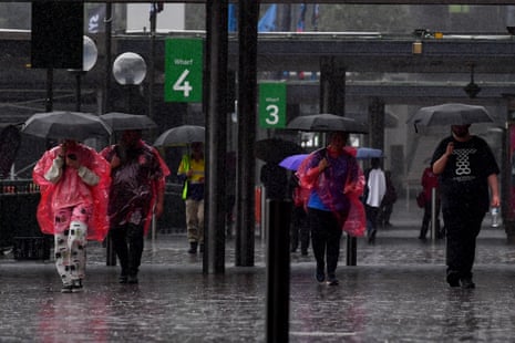
Sunny skies may finally be on the horizon, with Bureau of Meteorology modelling suggesting an end to the La Niña weather pattern early next year.
The long run of wet weather over many parts of Australia has been driven by three consecutive years of La Niña events, which result in increased rainfall across northern and eastern Australia.
The Bureau’s latest climate driver update, released on Tuesday, forecasts a return to a neutral phase of the El Niño-Southern Oscillation, a cycle in which winds and sea-surface temperatures vary over the tropical eastern Pacific Ocean. The majority of the BoM’s models indicate a “return to ENSO-neutral in early 2023”.
@BOM_au is predicting the La Nina will be shallow, with conditions in the Pacific reverting to neutral conditions by late 2022 - early 2023...https://t.co/889mzq9GSh pic.twitter.com/Kw1fN3EEhE
— Peter Hannam (@p_hannam) October 25, 2022
Assoc Prof Shayne McGregor, of Monash University and the ARC Centre of Excellence for Climate Extremes, said a normal La Niña or El Niño event would usually peak around Christmas and rapidly decay in the following months.
BoM models show that Pacific sea-surface temperatures will no longer meet La Niña thresholds by February. “It suggests … the event might peak a little bit earlier than the normal December–January [period],” McGregor said.
Sign up for our free morning newsletter and afternoon email to get your daily news roundup
During a La Niña, strong trade winds blow west across the Pacific Ocean. Warm surface water is pushed towards Asia and the seas north of Australia, resulting in higher rainfall than normal across the country’s north-east. The weather event has the inverse effect across the Pacific, with 60% of the US declared to be in a designated drought zone last week.
In an El Niño, the trade winds weaken or reverse, leading to warmer surface water in the central Pacific, and less moisture north of Australia. El Niño events are often associated with severe bushfire seasons, although the 2019-20 black summer bushfires occurred in a neutral year.
Historically, around half of all years have been classified as ENSO-neutral, a phase that marks the transition between the La Niña and El Niño. “There are typically two neutral years for every El Niño and La Niña,” McGregor said.
“Quite often an El Niño will transition [directly] into a La Niña, but La Niñas don’t typically transition straight into El Niño,” McGregor said. “Looking at the statistics of past events, it does suggest that we would more likely have a neutral event next year.”
Until the ENSO enters a neutral phase, “we’ll still be expecting more rainfall than normal, unfortunately,” he added.
after newsletter promotion
Extreme La Niña and El Niño events are projected to increase as the planet warms.
Indian Ocean dipole to become neutral
Another climate driver, the Indian Ocean dipole, is also forecast to swing into a neutral phase. The IOD has been negative for the past two years – the first time two consecutive such events have occurred since reliable records began in 1960.
A negative IOD is usually associated with above-average spring rainfall for most of central and eastern Australia. An extreme positive IOD intensified the 2019-20 bushfires.
“Models indicate that the negative IOD is likely to persist into late spring before rapidly decaying,” the BoM said. “When La Niña and negative IOD conditions combine, the likelihood of above average rainfall over Australia is further increased, particularly for the eastern half of the continent.”
Australia’s climate warmed by around 1.47C between 1910 and 2020. The BoM has also noted “a trend towards a greater proportion of rainfall from high-intensity short-duration rainfall events, especially across northern Australia”.
